Summary of the days on my hike to Sarek in 2023.
Period
- Departure 27th of july
- Return 3rd of august
- 6 hiking days
Weather
- 13-23 gr
- 10-15 % sunny
- 25-35 % rain
- 35-50 % clouded
Distance
- 80-85 km calculated from number of steps.
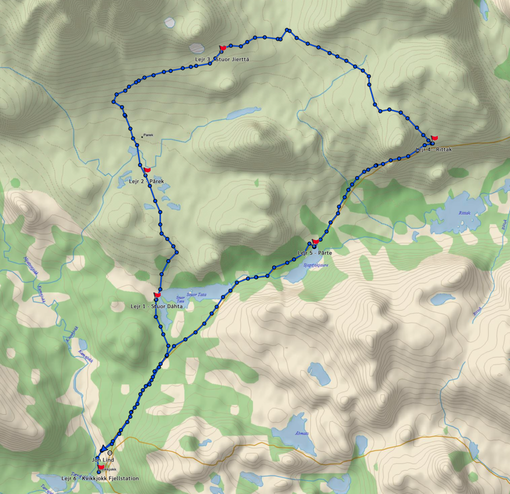
Day 1
- Kvikkjokk – Stuor Dáhtá
- Difficulty 7-9
- Distance about 12,5 km
- Sun + rain
- Predominantly ascent
- Camp 50 m above the lake
- No appetite – didn’t eat any dried food but a little fresh sausage
- Tossed the days ration of nuts
Day 2
- Stuor Dáhtá – Pårek
- Difficulty 7-9
- Distance about 14 km
- Cloudy
- Predominantly ascent
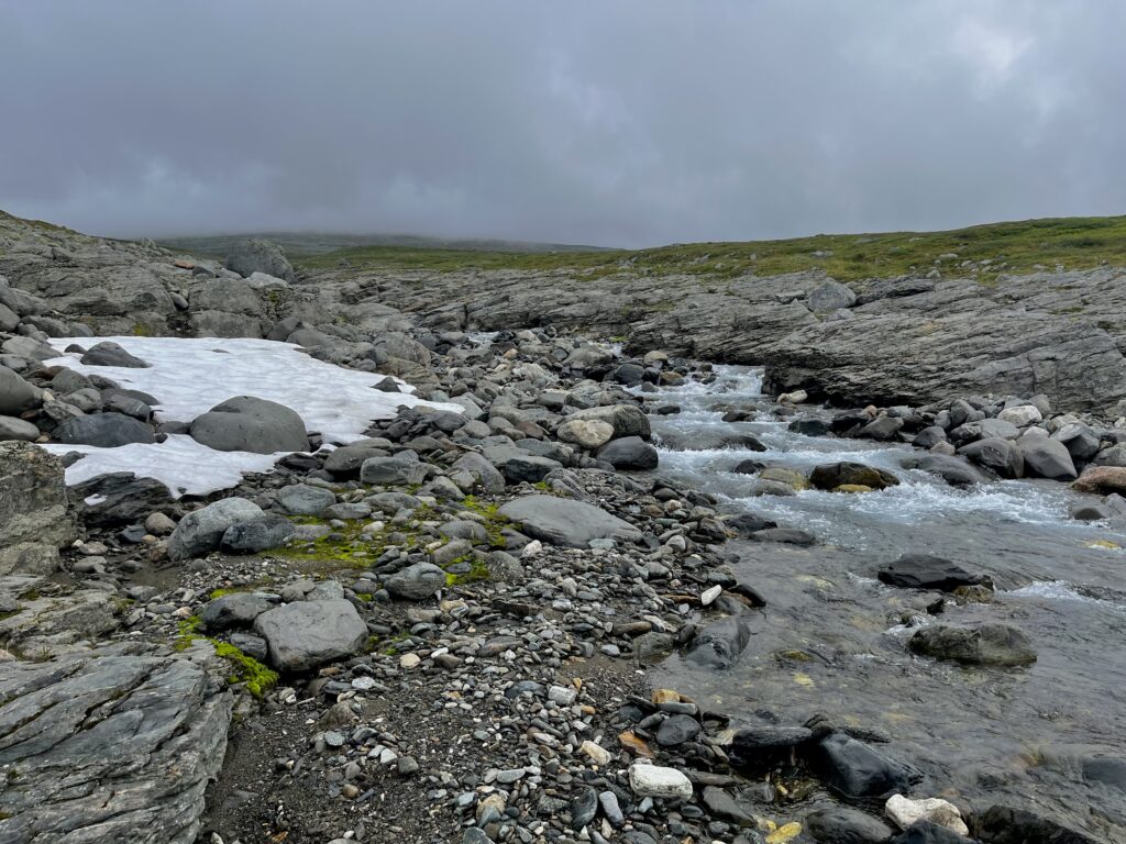
- Fording across Boarekjávrre was more difficult than assumed
- Lost orientation 3-4 times and had to turn around
- Camp by a path west of Pårek
- Cut my finger on some scrubs
- Weather forecast with rain + thunder in the next couple of days
- 2 swedish guys said they werent impressed with their hike along my planned route
- Changed my route to east-south-east through Sarek to Kungsleden
- Still very little appetite – craved sugar over fat
- Tossed the days ration of nuts + most of the Nutella
Day 3
- Pårek – Stuor Jierttá
- Difficulty 6-7
- About 9 km
- Cloudy + light rain
- Ascent + along hight curves
- Short and difficult fording over Gasskagårsåjågåsj – fording where the river splits in two
- Didnokjågåsj was dried out
- Camp by small lake south-east of Stuor Jierttá
- Silence like in a vaccum
- A little better appetite
- Tossed the days ration of nuts
Day 4
- Stuor Jierttá – Kungsleden at the bridge across Jåkkejågåsj south-east of Stuor-Dágár
- Difficulty 6-7
- About 15,5 km
- Light rain + cloudy + sunny
- Poor Ringe visibility in the morning
- Followed hight curves followed by descent
- Hilly terrain early on the route
- Marsh with scrubs in the valley between Stuor Jierttá and Suolanjunnje – adjusted the route
- More scrubs than was marked on the map on most of the route
- Took a brake and dried my clothes when the sun shined for a change
- Decided to skip camp and walked all the way to Kungsleden in one go
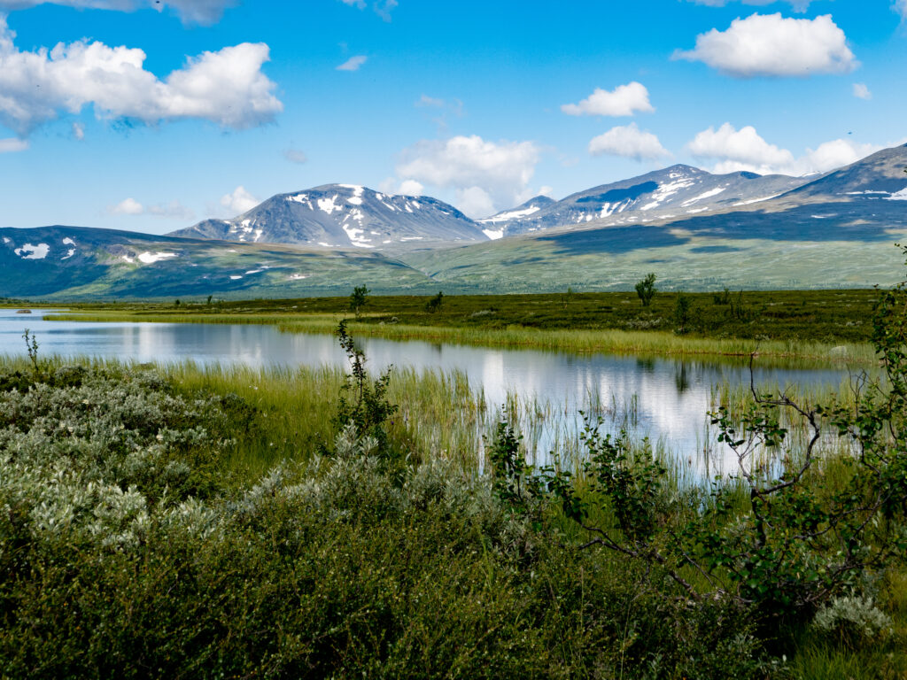
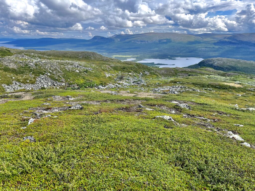
- Fantastic view over the lakes Rittak and Tjaktjajaure when descending to the bridge
- Allmost normal appetite
- Tossed half of the remaining nuts and most of the Nutella
- Boots soaked
Day 5
- Bridge across Jåkkejågåsj – Pårtestugan
- Difficulty 6-7
- About 11,5 km
- Cloudy + rain (cloud break + thunder at night)
- Descent + flat terrain
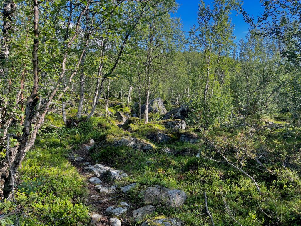
- Some rocks at first on the route, followed by forest
- Paid for hut facilities (300 swedish kroner) and slept in tent
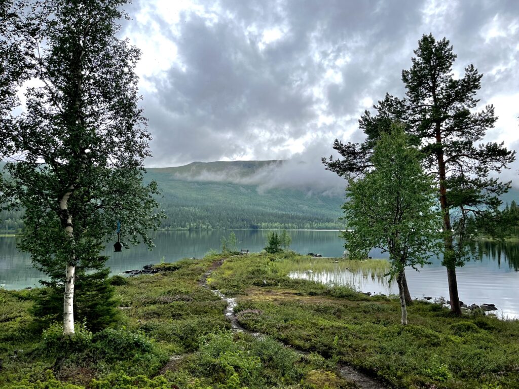
- Cosy place with nice view over the lake Sjábttjakjávrre
- Some had problems with placing tents during cloudbursts at night
- Appetite just about normal
- Boots still sooked – walked in waterproof socks
Day 6
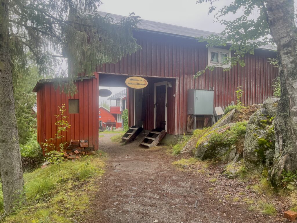
- Pårtestugan – Kvikkjokk
- Difficulty 6-7
- About 20,5 km
- Rain all day
- Ascent followed by descent the last 3-4 km to Kvikkjokk
- Rocky terrain
- Slept at the Fjällstation (on waiting list for shared room)
- Cosy atmosphere and nice and friendly staff
- Talk to several hikers
- Boots still soaked – kept the waterproof socks on